
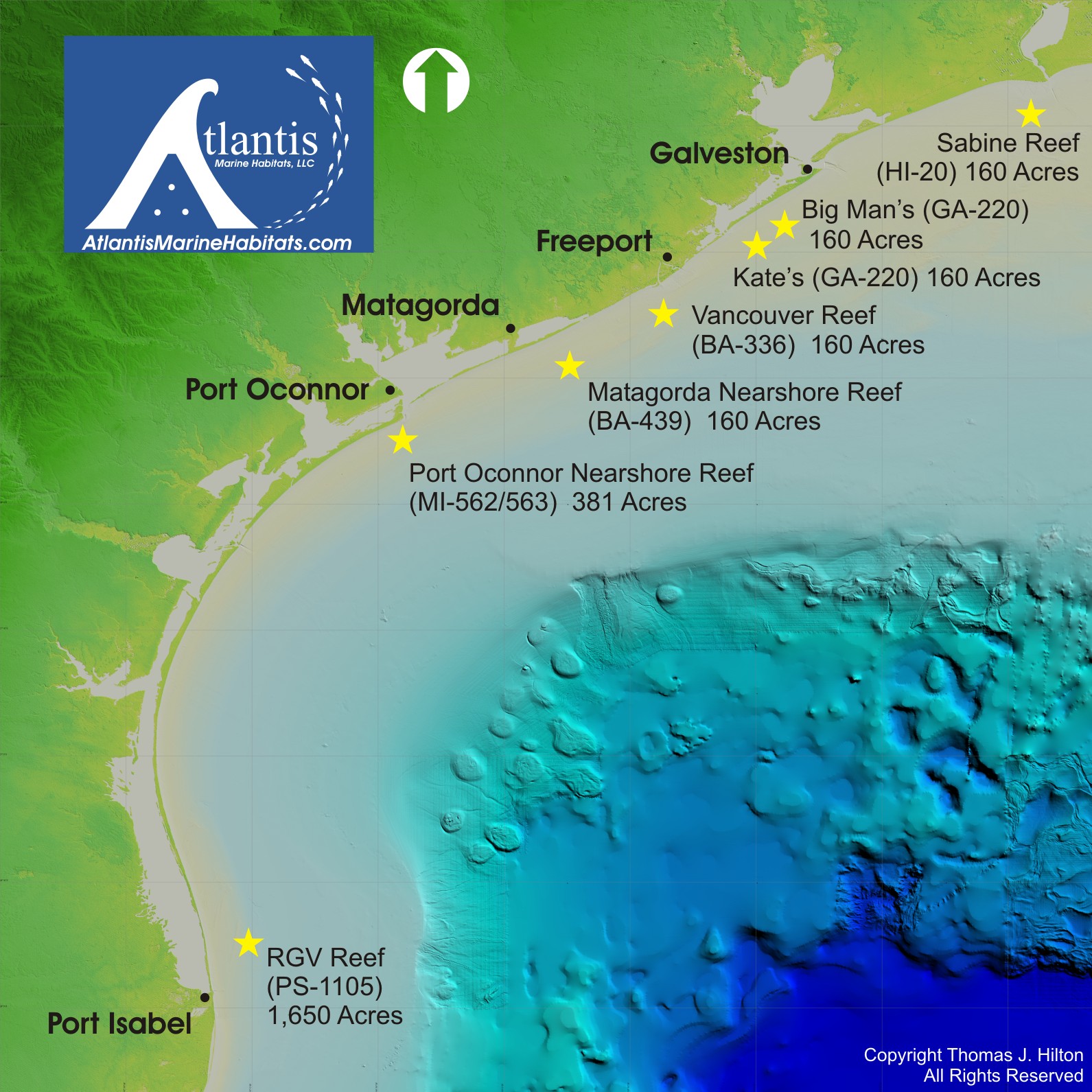
MAPS OF REEFING SITES
Atlantis is providing an interactive mapping solution for Texas anglers to view the latest reef locations along with the ability to download coordinates in formats to import directly into their chartplotters.
Click on the reef site stars and it will hyperlink to that reef site showing all structures deployed in that site.
Copyright 2022 Atlantis Marine Habitats LLC. All Rights Reserved.